 Spanish
 English
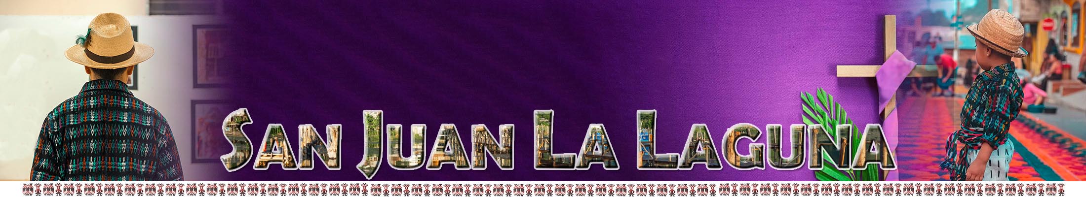
San Juan La Laguna
¡¡¡Land of the Tz'utujiles!!!

San Juan La Laguna
¡¡¡Land of the Tz'utujiles!!!
¡¡¡Land of the Tz'utujiles!!!
¡¡¡Land of the Tz'utujiles!!!
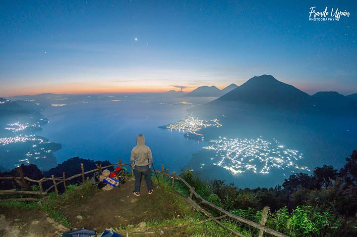
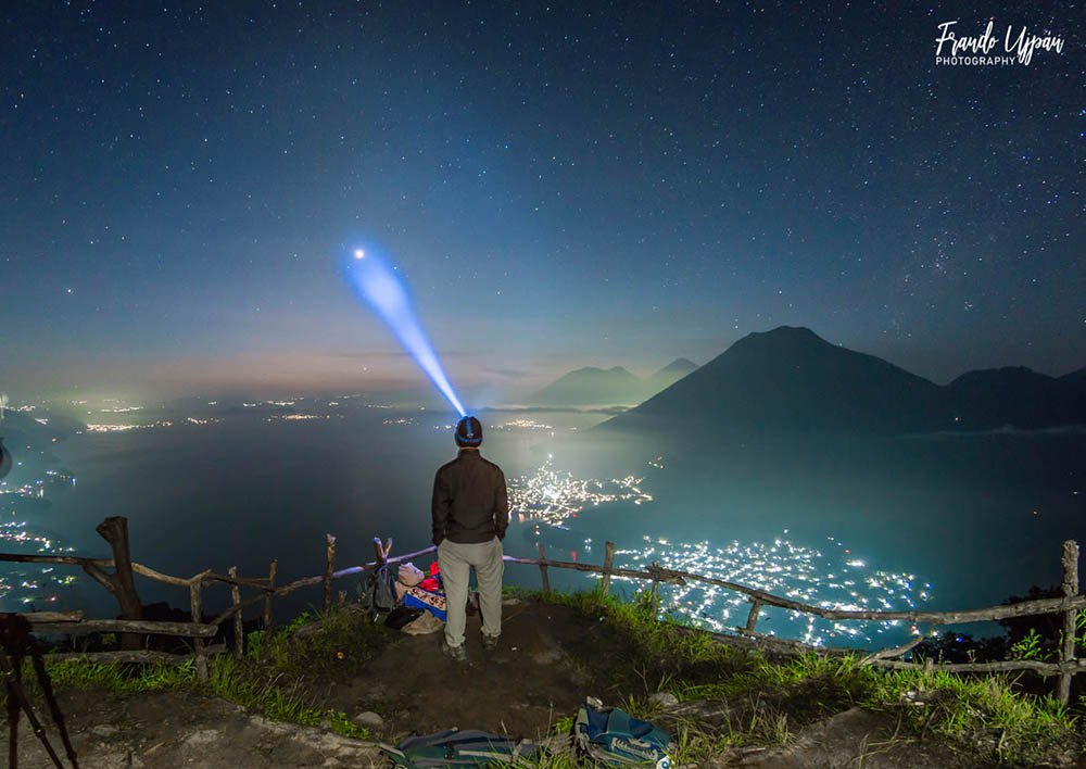
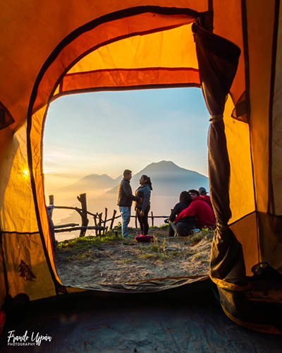
Known as Rostro Maya, it is the viewpoint of San Juan La Laguna that is located at the highest point of the place.
General Data
Distance from Guatemala City to Cerro Cristalino: 160 km.
What you didn't know...
How to get?
For the ascent to the viewpoint, you can start with a walk of approximately 2 hours from the town of San Juan to the summit, on the way you will meet nature, as well as the stories of the place.
There are two routes to get to the municipal seat of San Juan La Laguna:
- By land access, at kilometer 148 of the Inter-American route there is a sign that indicates the crossing for Santa Clara La Laguna and it is that route that is taken to go down to San Juan La Laguna , passing through Santa Clara La Laguna and San Pablo La Laguna.
- And by water access, you can take the boat in Panajachel to San Juan La Laguna.
Some recommendations to climb it ...
Contact information